The Brook. A nice little stream that flows in at one end of Eversholt, near Milton Bryan, and flows out at the other, near Flitwick.
But… where does it come from? Where does it go?
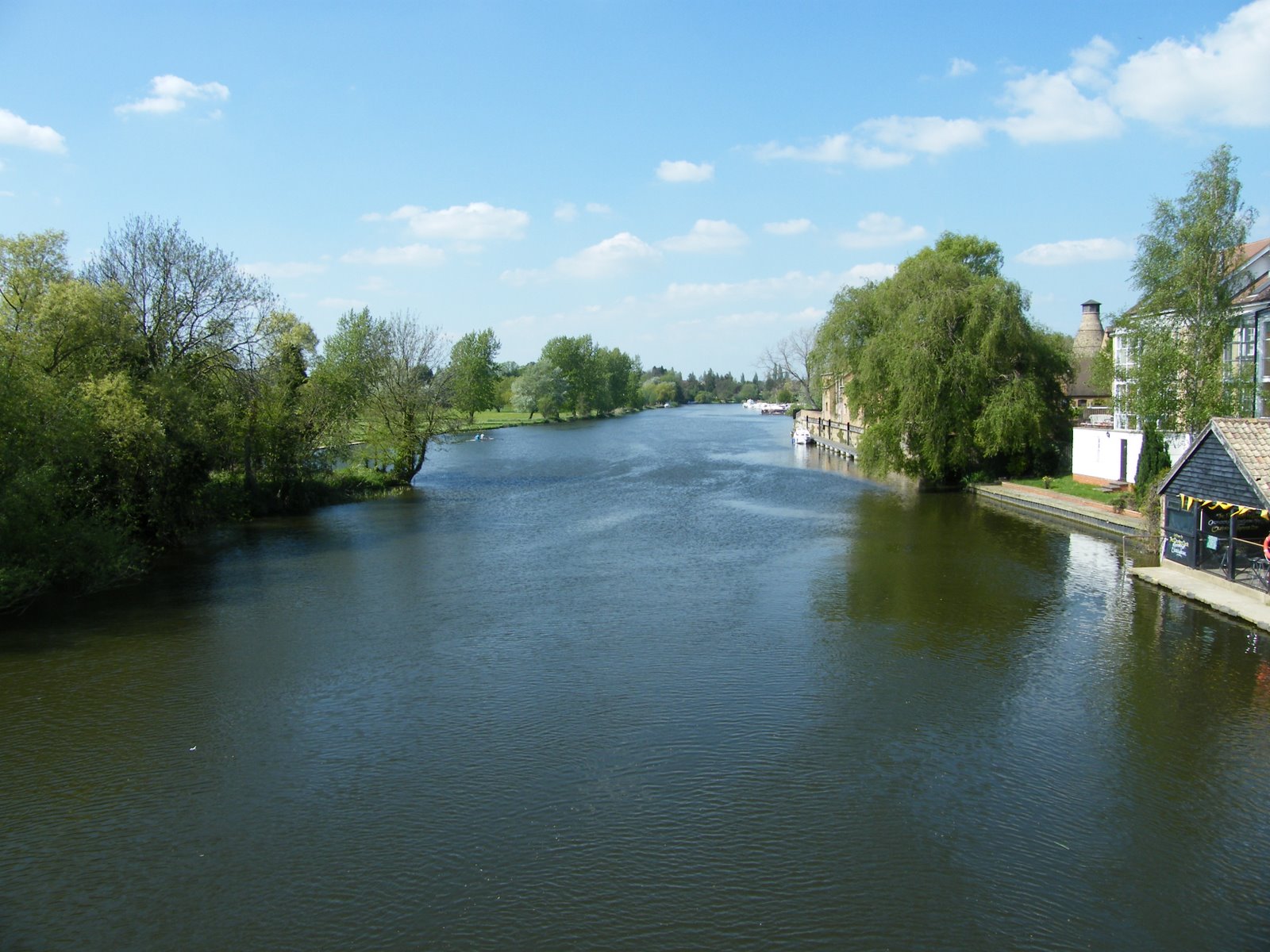
It’s fairly easy to answer these questions with a map, but it’s much more fun on the ground. As my own contribution to the fine art of experimental tourism, I spent a day trying to follow the brook from Eversholt to the sea. Our Brook flows into the River Flit, then the River Ivel, then into the River Great Ouse. I didn’t get all the way, but had fun getting to St Neots. Lots of the route is pretty scruffy, and everywhere seems plastered with notices telling you not to do something. What was a revelation to me was the importance of the brook as a power source. Water mills were built all the way from Eversholt to the sea, each working off a drop in water level of a metre or two. Most have disappeared, but the associated weirs, ponds and races are still there. After all the mills were built, a navigation was built, allowing barges to travel from the sea up to Shefford, and all the mill races had to be bypassed with locks. All this can still be seen.
Click this link to go to a Google Photos Album, complete with Geotags, showing the journey. That was supposed to have a map showing all the photos, but I can’t make that work. So maybe this gallery below will be easier. Click on each thumbnail for a full sized photo.
The Brook at Water End, Eversholt.
The Brook crossing the road at Water End, Eversholt
The Brook emerging from under the road at Water End, Eversholt.
Wreckage and junk in the Brook between Eversholt and Flitwick
The Brook near the M1
The Brook near the M1
The Brook emerging from beneath the M1
Flitwick Mill. The owner is awaiting permission to convert it to a house.
Flitwick Mill
The Mill race at Flitwick Mill, suffering from lack of use.
The river Flit by Flitwick Mill
The River Flit near Flitwick Mill
River Flit, Flitton
River Flit, Flitton
River Flit at the A6 Clophill Roundabout
River Flit going under the A6 at Clophill
River Flit emerging from beneath the A6 at Clophill
Disused road bridge over the River Flit at Clophill
River Flit at Clophill
River Flit at Beadlow
Bridge over the River Flit at Beadlow
River Flit at Beadlow
Everywhere by the river is unwelcoming. Beadlow.
Inelegant bridge over the River Flit in Shefford
Inelegant trash under an inelegant bridge in Shefford
River Flit in Shefford
Is our whole country going grumpy? Shefford, beside the River Flit.
River FLit in Shefford. Strange concrete flume.
The White Swan pub by the River Flit in Shefford. I had a nice lunch!
River Ivel near Clifton
River Ivel near Clifton
I think this used to be the River Ivel Navigation, abandoned in ~1870.
River Ivel Navigation. Barges could reach Shefford from the sea.
River Ivel at Broom
River Ivel at Broom. There’s an impressive flow.
Foaming torrent in the old lock at Broom.
River Ivel at Broom.
River Ivel at Broom
Overflow from the feed to the mill at Broom
Everyone’s grumpy by the river.
The Mill at Broom. It doesn’t seem to be in use.
Jordans cereals use the old mill site at Broom
Statue at Broom, too worn to identify. By the lock.
Lock at Broom. When teh navigation to Shefford was built in 1823, every mill had to be bypassed with a lock.
Lock at Broom. Why isn’t there a mini turbine in this lock?
River Ivel at Broom
Jordan’s modern mill by the River Ivel at Broom.
This used to be someone’s front drive, at the mill near Blunham